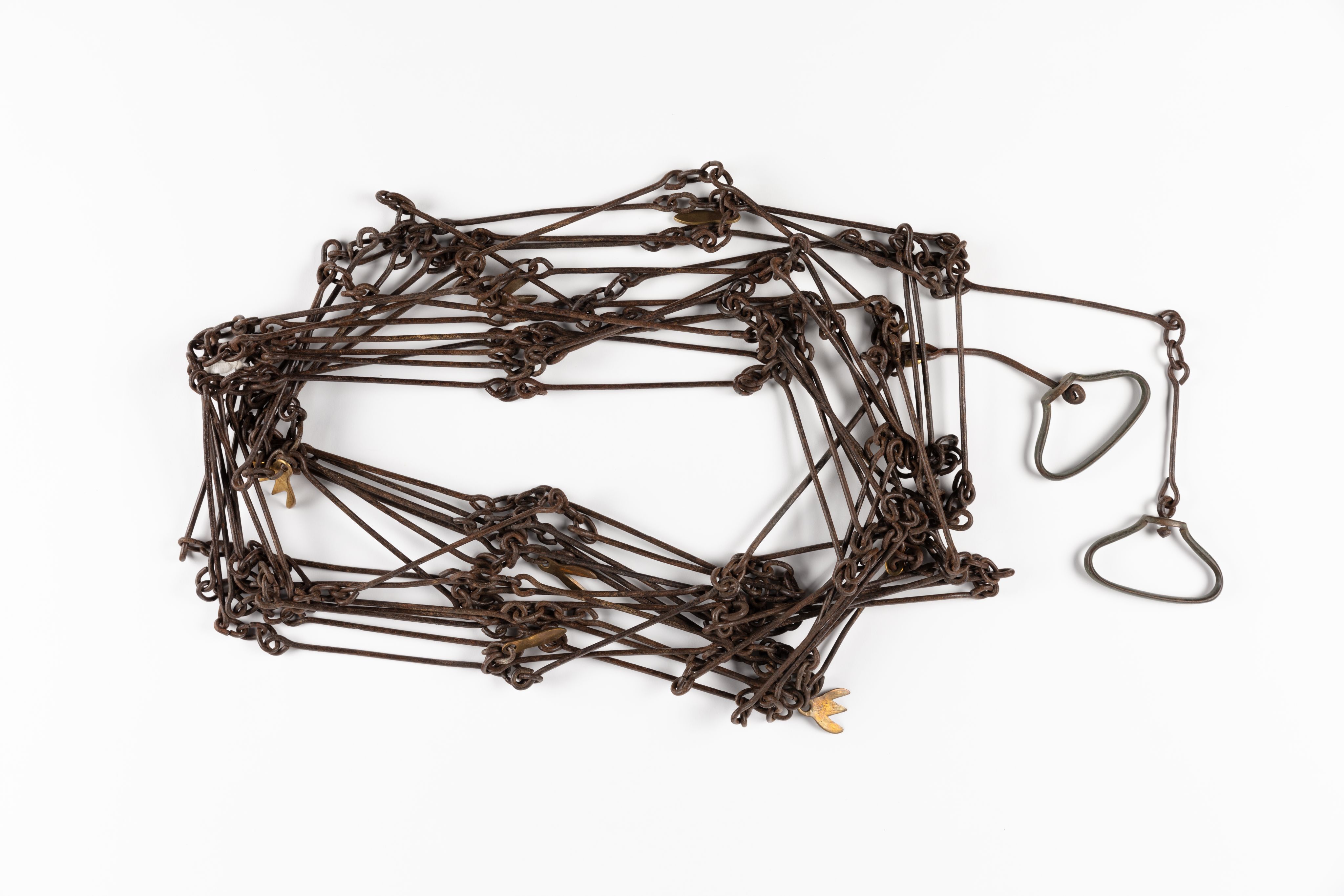
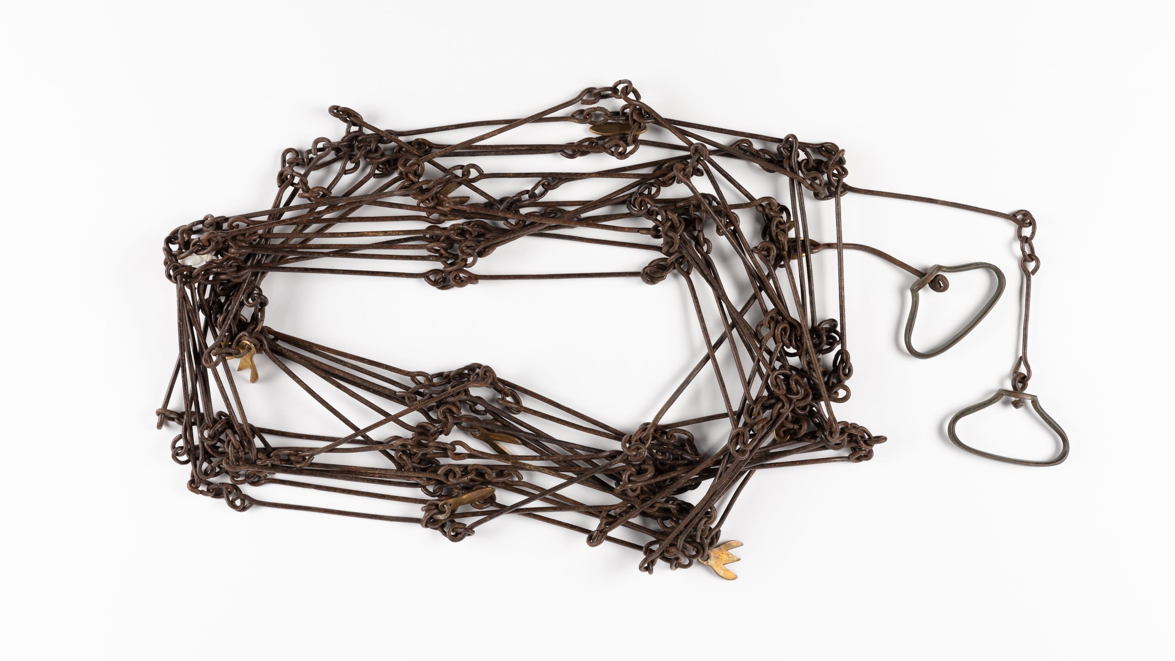
Du Moulin Surveyor’s Chain

Introduction
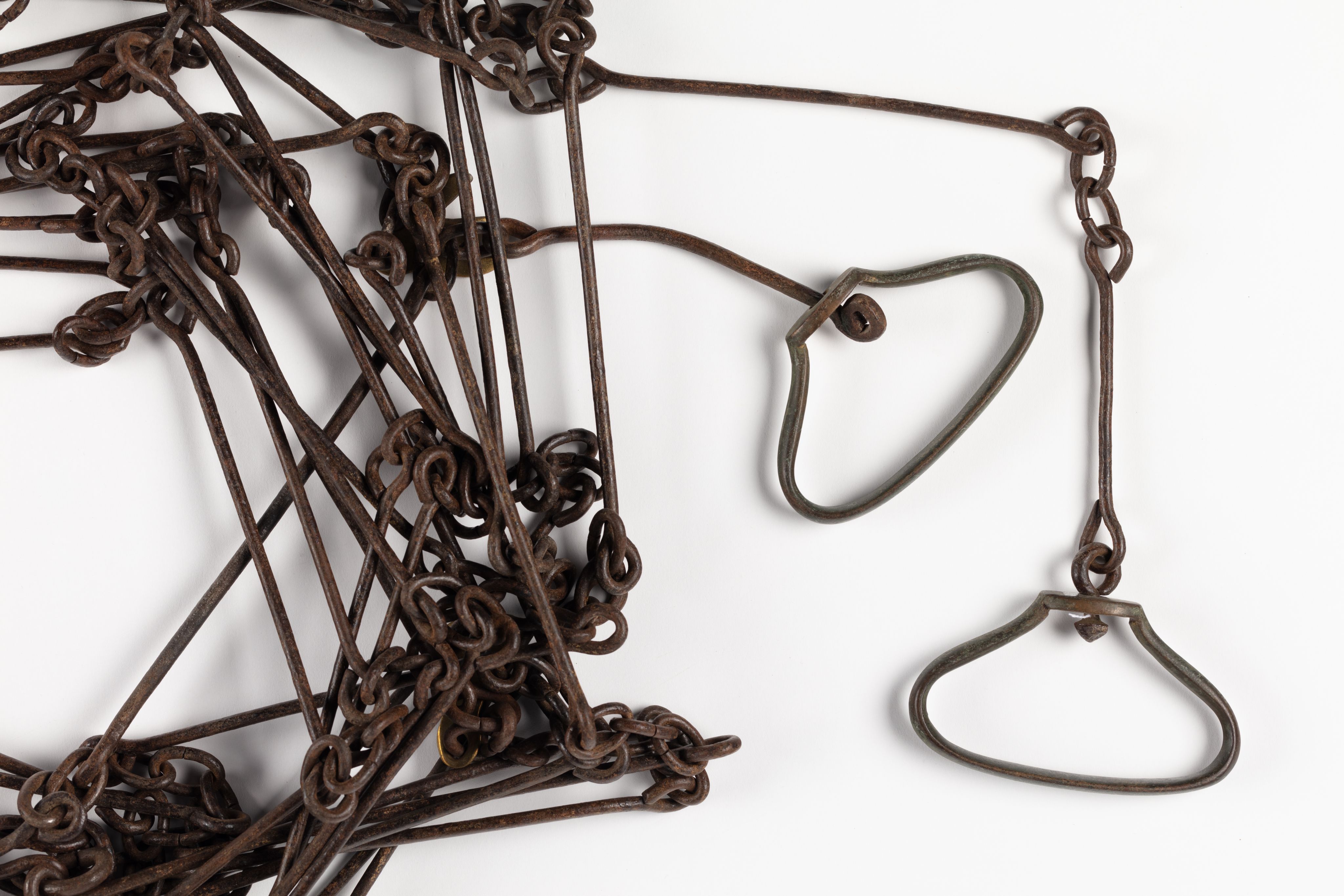
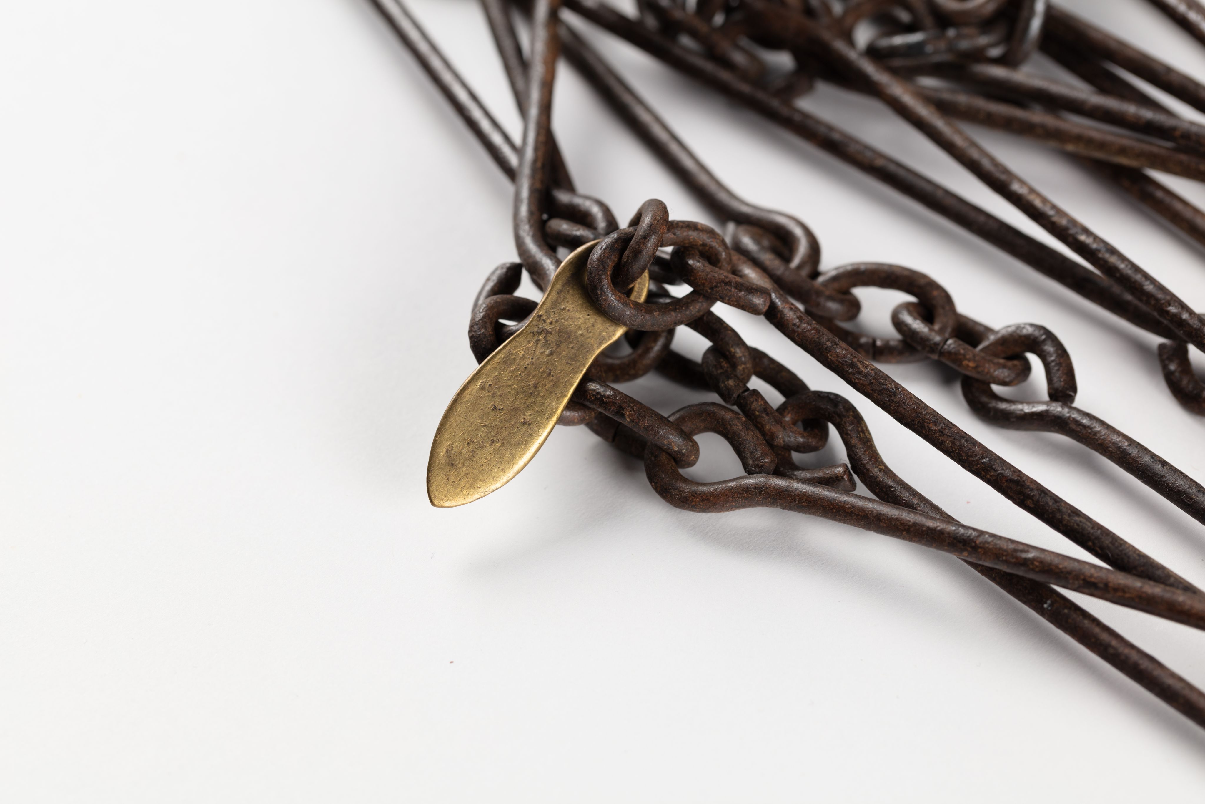
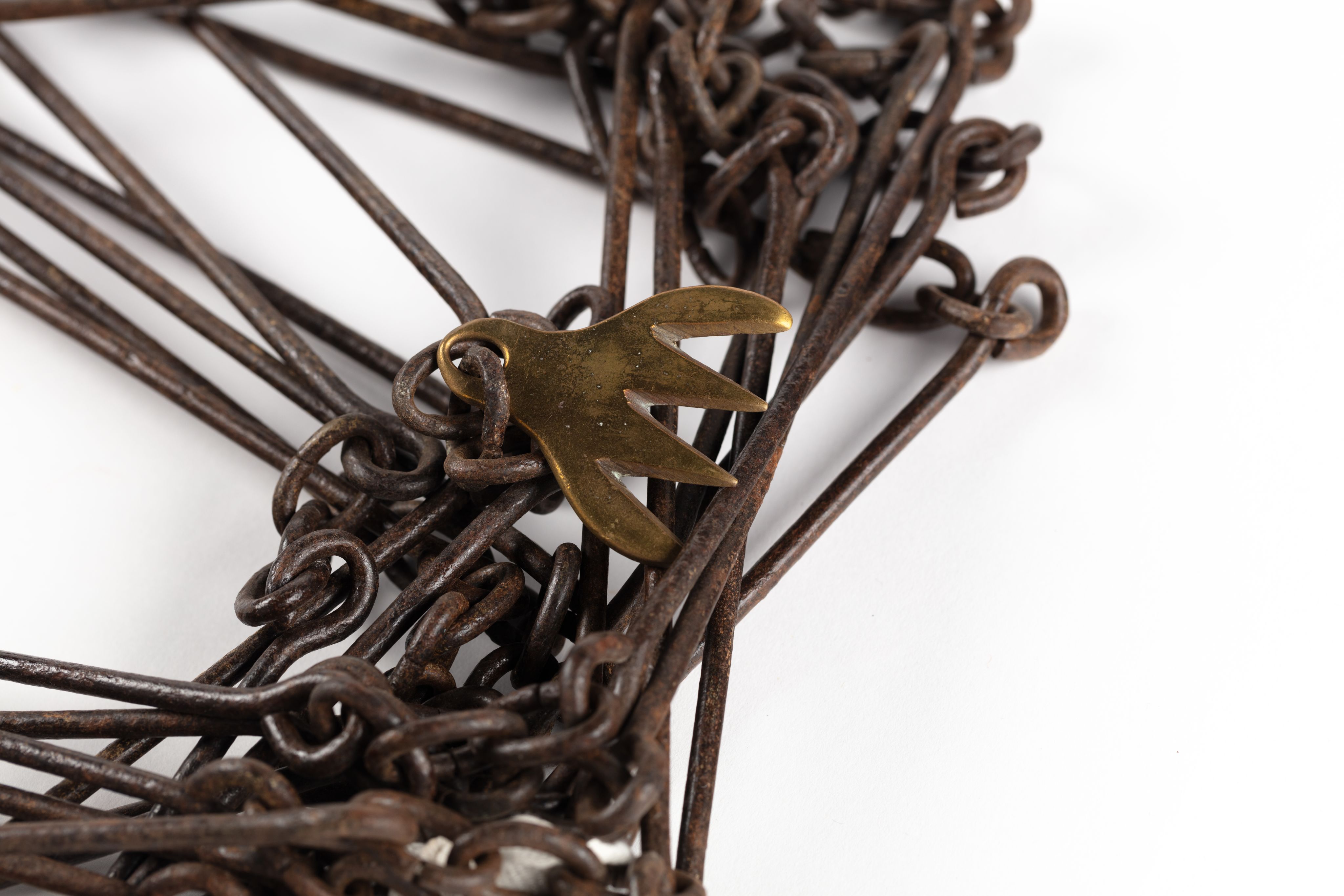
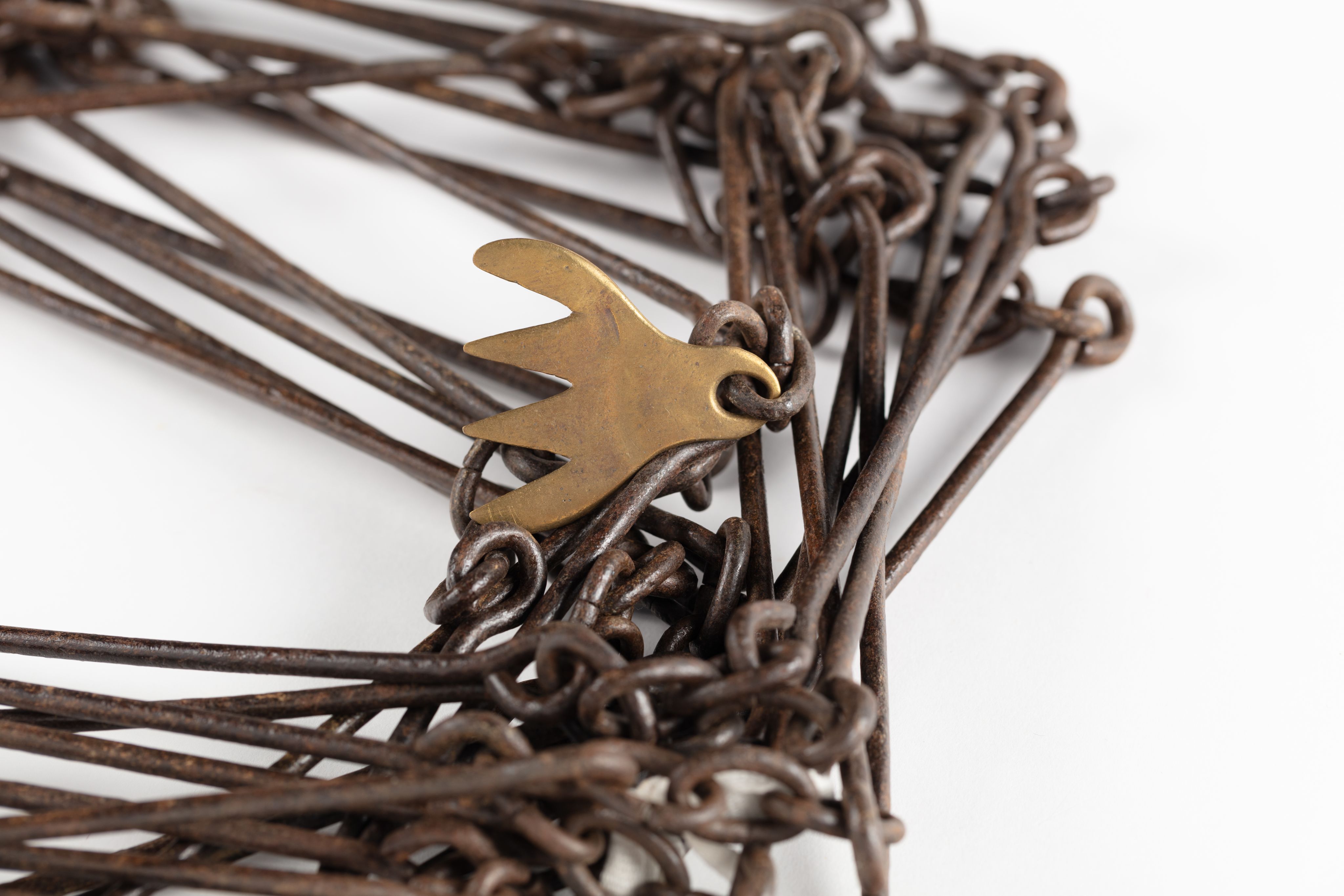
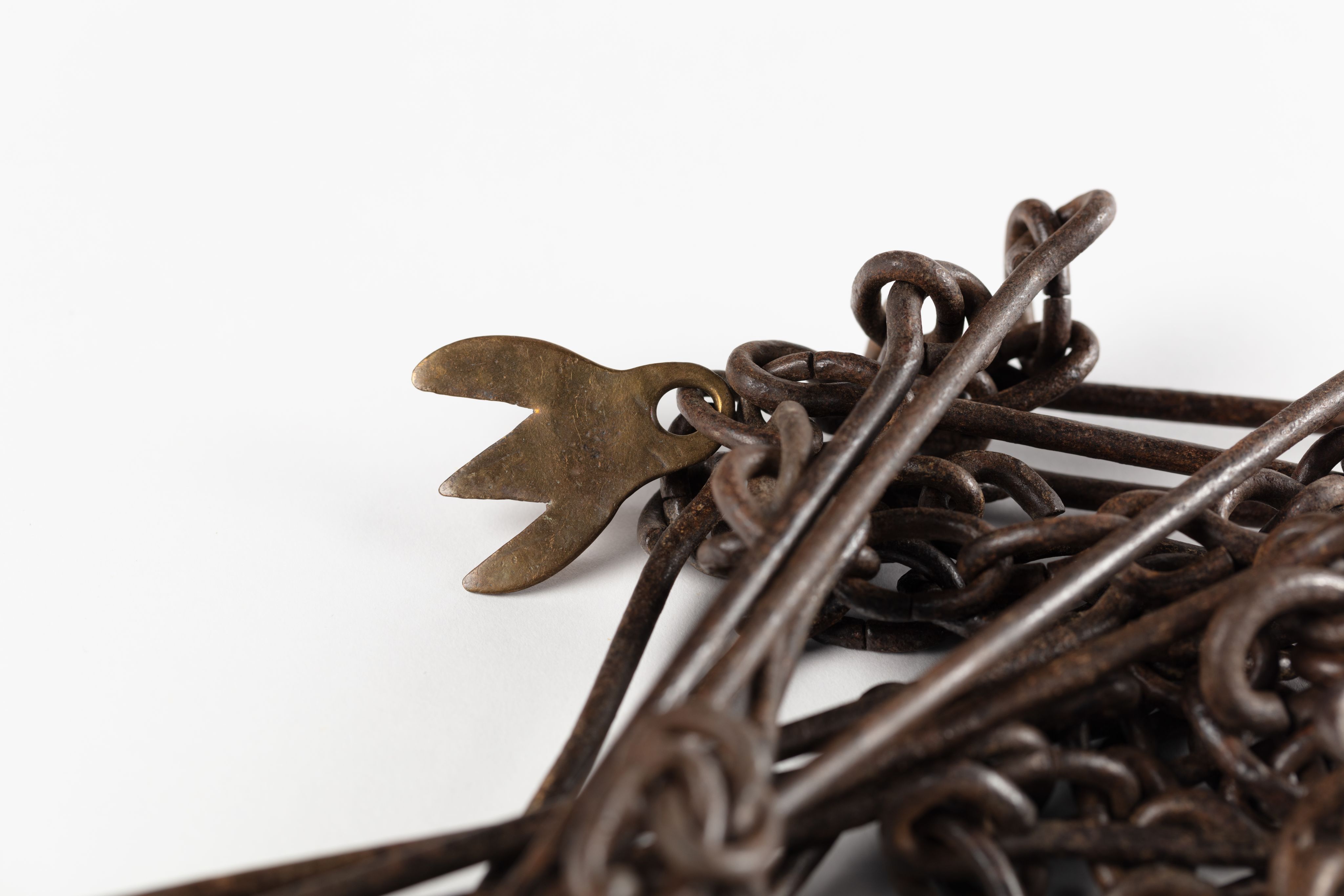
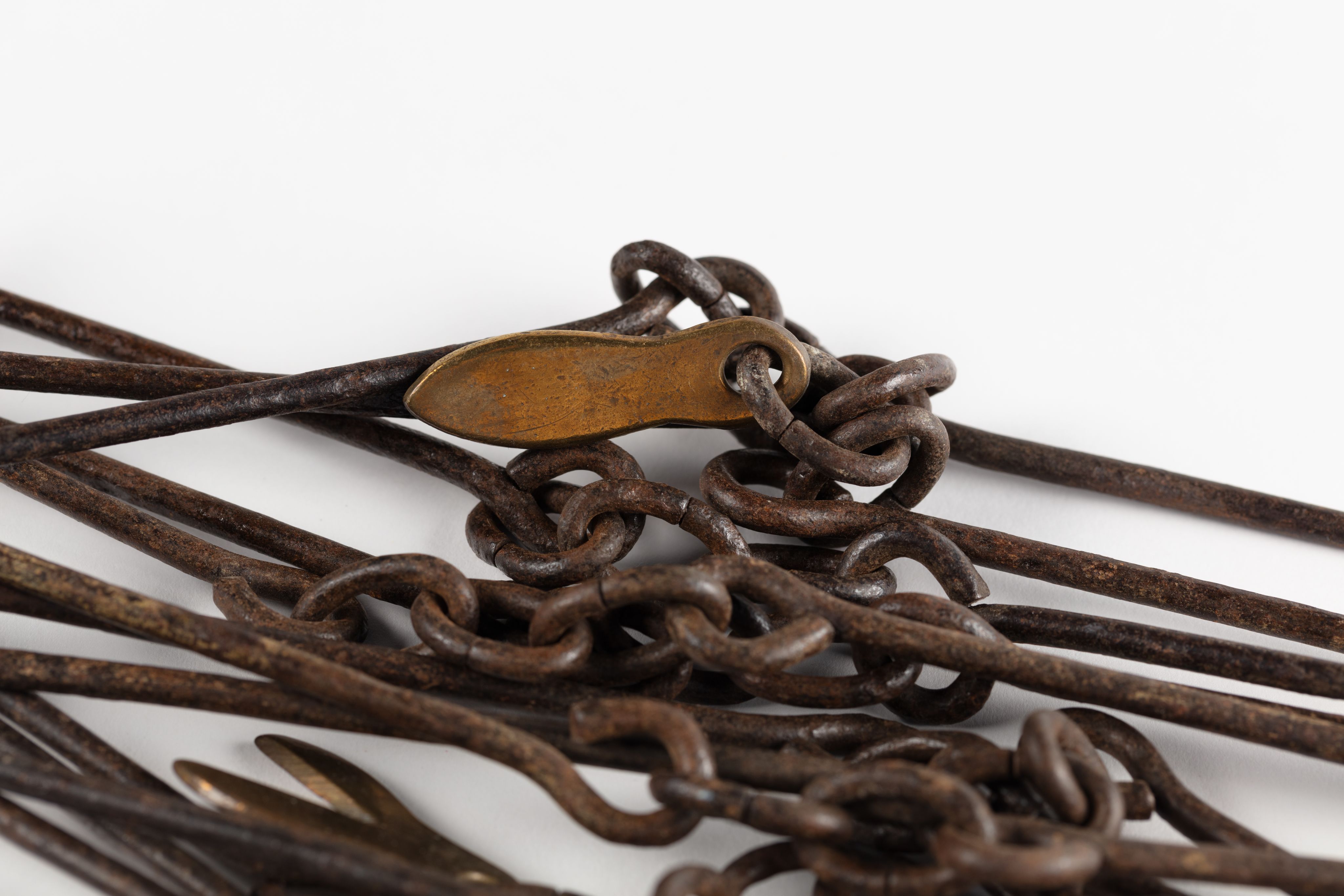
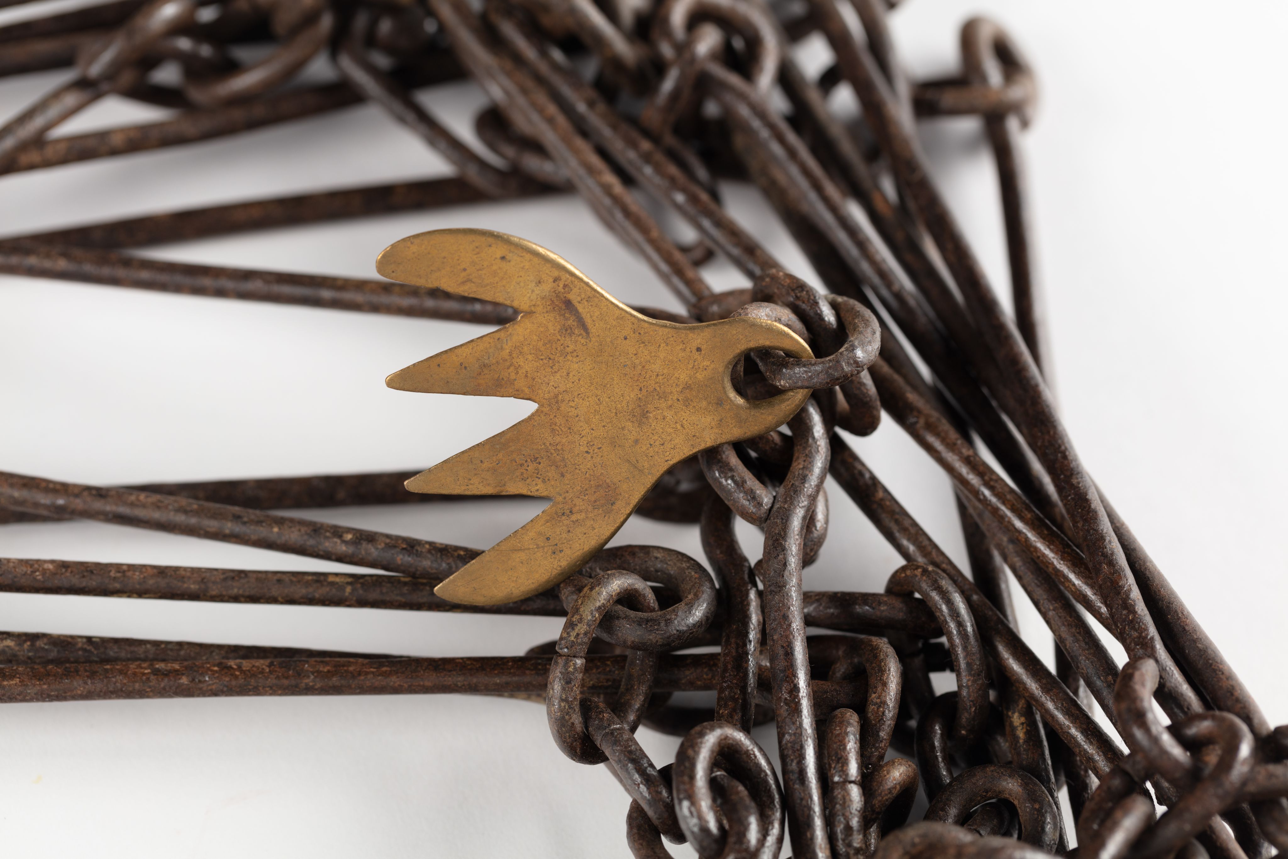
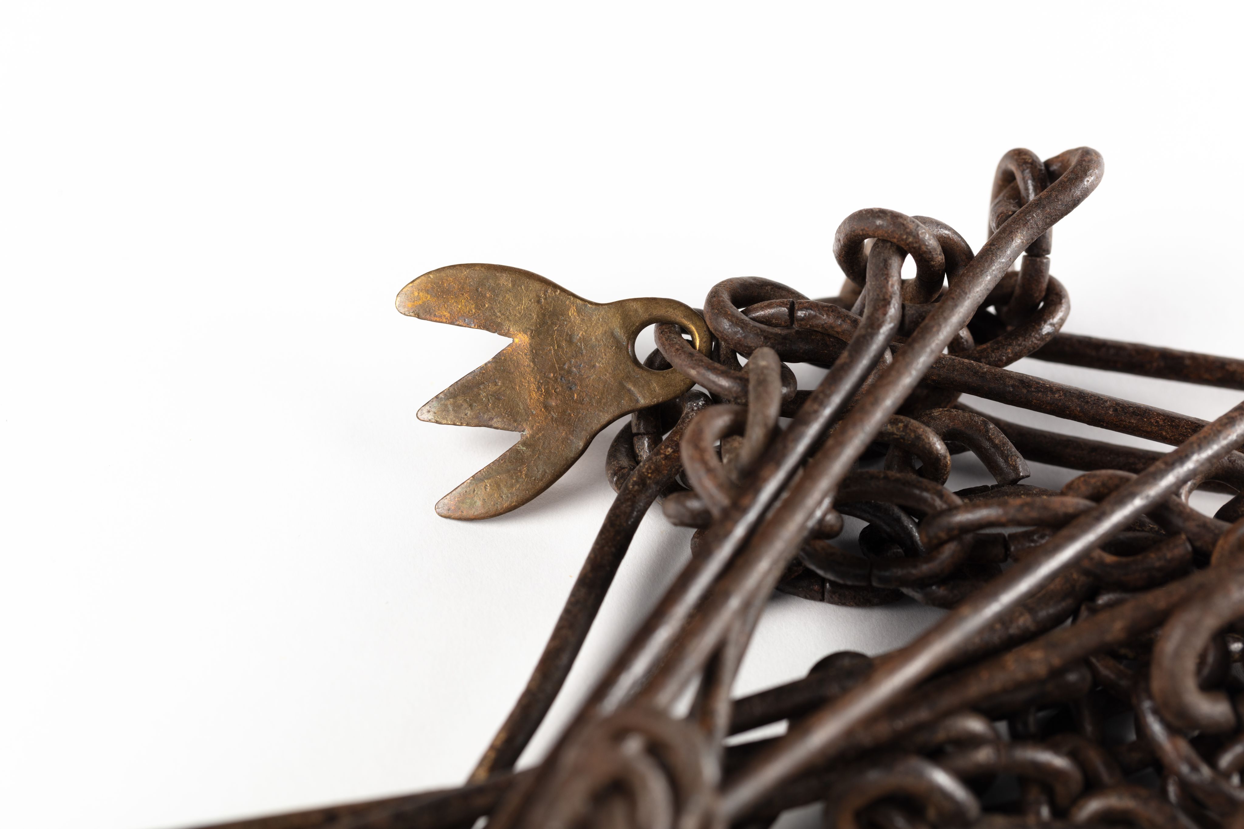
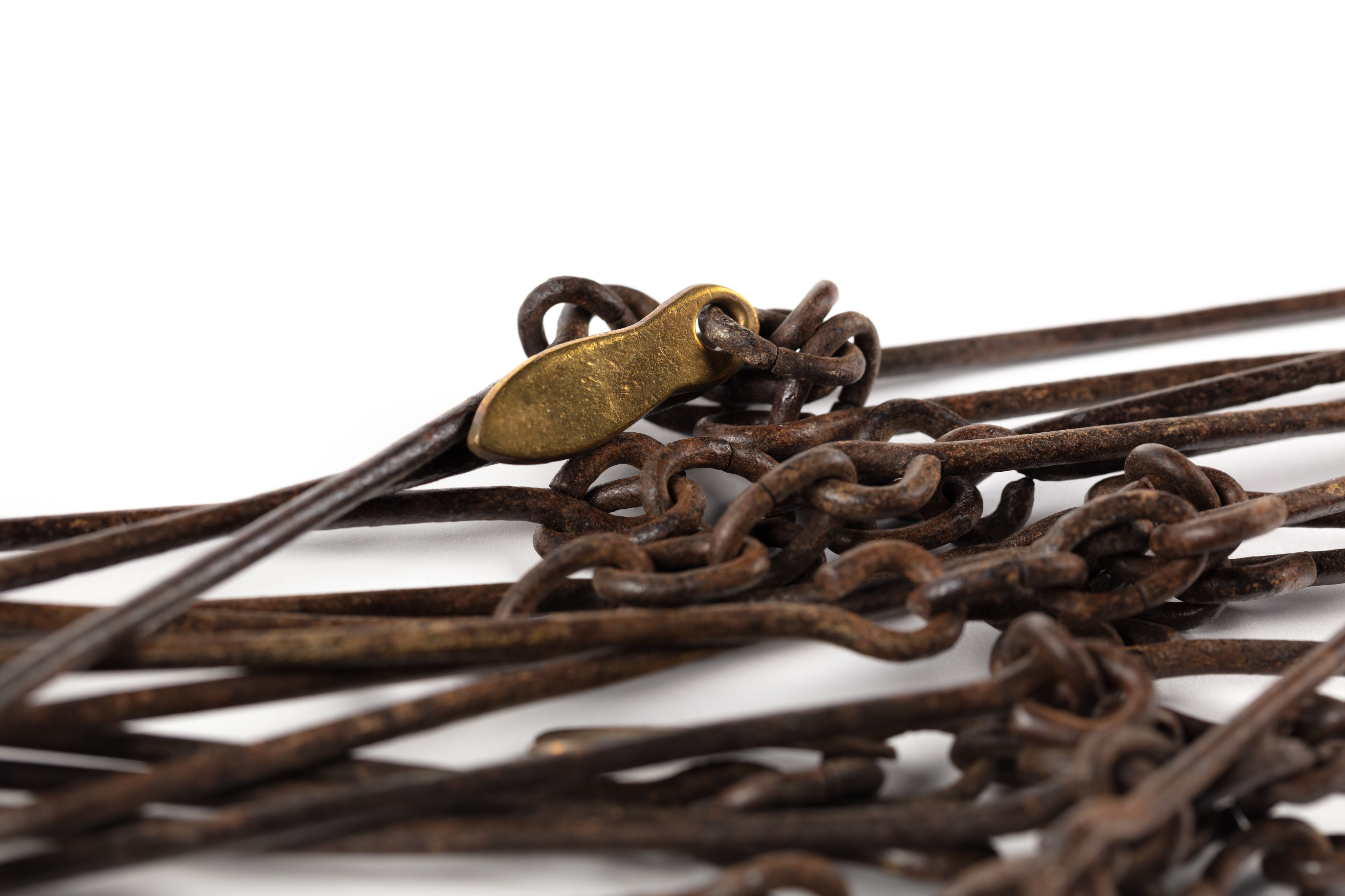
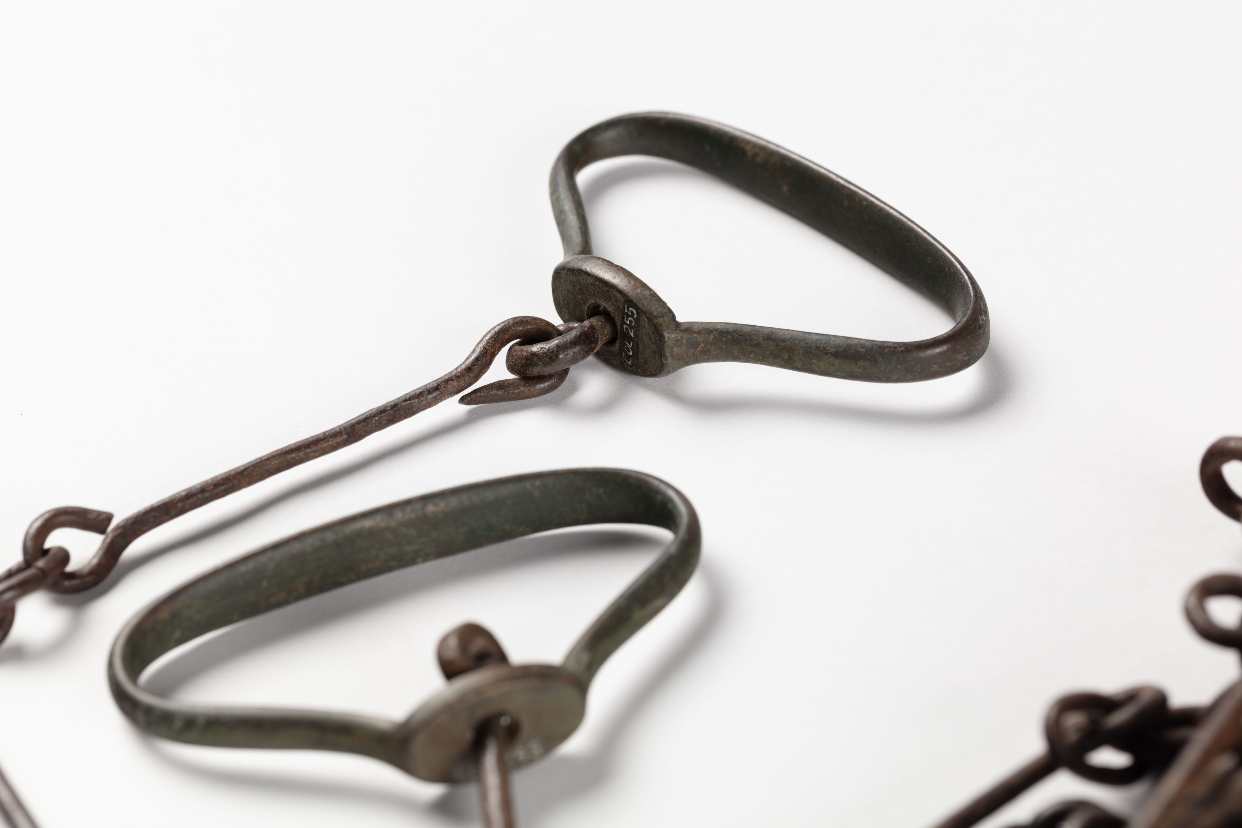
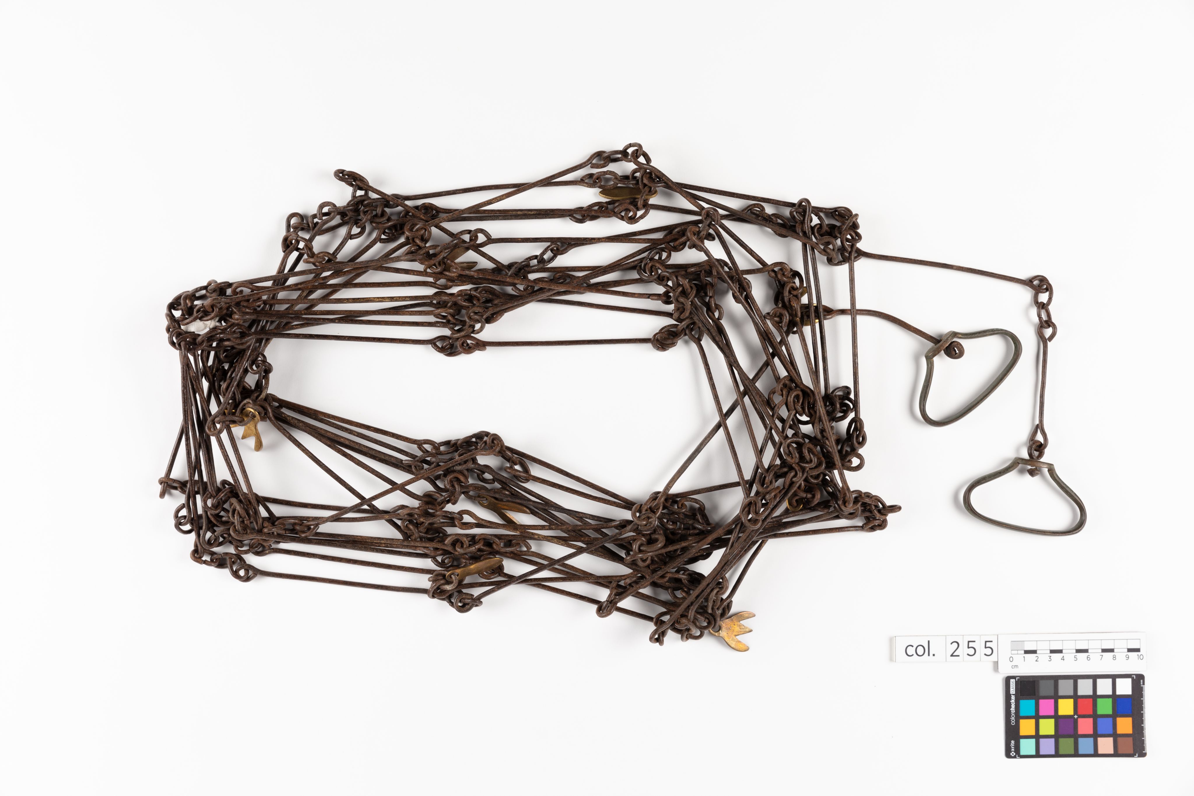
This surveyor’s chain belonged to Johan (John) Peter Du Moulin (1816-1901), who worked as a land surveyor in early colonial Auckland and served in the New Zealand Wars. The 66-foot (20 metre) metal chain, divided into 100 equal links, was used to measure distance on the land. It was an essential piece of equipment for surveyors as they measured, marked out, named and mapped land that was already known, named and owned by Māori. Surveying played a central role in implementing colonisation on the ground in New Zealand, helping to expand both the cultural and physical boundaries of the British Empire.
Du Moulin arrived in New Zealand from Australia in 1839 at age 23. He joined the survey team of Felton Mathew, the Acting Surveyor-General, and worked on some of the first land surveys in central Auckland after the Ngāti Whātua leader, Āpihai Te Kawau, gifted land (tuku whenua) to Governor Hobson and invited him to establish a town in Tāmaki. Over the next few years, much of the land in Auckland was alienated from Māori, with surveying playing a crucial role in this process. Du Moulin later worked as an independent surveyor and land agent, helping settlers buy and survey land in the Auckland area. He also purchased land for himself, including a large tract in Mt Eden, which he later surveyed, subdivided and sold as Auckland expanded in the late 19th century.
The process of surveying imposed the British system of land ownership, in which land had fixed boundaries and could be individually owned and sold as a commodity, on to the Māori concept of mana whenua (the right to land). In Māori culture boundaries could be physical, cultural, and at times fluid, with land rights based on complex ancestral connections that could not be severed, even if land was given away. For many Māori, the presence of the surveyor and their equipment became a sign of potential land loss. Some responded by confiscating survey equipment, pulling up surveyor pegs, and obstructing the surveying work on their lands.
Du Moulin volunteered for the Auckland Militia in 1845 and served in multiple campaigns in the New Zealand Wars, including the Northern War of 1845-46, the Taranaki war of 1860-63 and the Waikato war of 1863-64. British imperial troops were based at Albert Barracks in central Auckland throughout this period and had a substantial impact on the cultural, social and economic lives of Aucklanders. During the wars, Du Moulin worked as a member of the Commissariat Staff, where his surveying skills proved useful. In addition to supplying troops with equipment and food, Du Moulin produced maps of several of the battle sites and helped build and maintain the military roads to Waikato.
Historian Giselle Byrnes described this survey chain as “an immensely powerful object” in her conversation with Auckland Museum. The survey chain provides insights into the complex and contested processes of colonisation in Tāmaki Makaurau Auckland, Aotearoa New Zealand and the wider British Empire.
Text by Lucy Mackintosh

Images

chain, surveyors', 1965.78.465, col.0255, ocm1649, © Auckland Museum CC BY
chain, surveyors', 1965.78.465, col.0255, ocm1649, © Auckland Museum CC BY

chain, surveyors', 1965.78.465, col.0255, ocm1649, © Auckland Museum CC BY
chain, surveyors', 1965.78.465, col.0255, ocm1649, © Auckland Museum CC BY
chain, surveyors', 1965.78.465, col.0255, ocm1649, © Auckland Museum CC BY
chain, surveyors', 1965.78.465, col.0255, ocm1649, © Auckland Museum CC BY
chain, surveyors', 1965.78.465, col.0255, ocm1649, © Auckland Museum CC BY
chain, surveyors', 1965.78.465, col.0255, ocm1649, © Auckland Museum CC BY
chain, surveyors', 1965.78.465, col.0255, ocm1649, © Auckland Museum CC BY
chain, surveyors', 1965.78.465, col.0255, ocm1649, © Auckland Museum CC BY
chain, surveyors', 1965.78.465, col.0255, ocm1649, © Auckland Museum CC BY
chain, surveyors', 1965.78.465, col.0255, ocm1649, © Auckland Museum CC BY
chain, surveyors', 1965.78.465, col.0255, ocm1649, © Auckland Museum CC BY
chain, surveyors', 1965.78.465, col.0255, ocm1649, © Auckland Museum CC BY
chain, surveyors', 1965.78.465, col.0255, ocm1649, © Auckland Museum CC BY
chain, surveyors', 1965.78.465, col.0255, ocm1649, © Auckland Museum CC BY
chain, surveyors', 1965.78.465, col.0255, ocm1649, © Auckland Museum CC BY
chain, surveyors', 1965.78.465, col.0255, ocm1649, © Auckland Museum CC BY
chain, surveyors', 1965.78.465, col.0255, ocm1649, © Auckland Museum CC BY
chain, surveyors', 1965.78.465, col.0255, ocm1649, © Auckland Museum CC BY
chain, surveyors', 1965.78.465, col.0255, ocm1649, © Auckland Museum CC BY
chain, surveyors', 1965.78.465, col.0255, ocm1649, © Auckland Museum CC BY

chain, surveyors', 1965.78.465, col.0255, ocm1649, © Auckland Museum CC BY
chain, surveyors', 1965.78.465, col.0255, ocm1649, © Auckland Museum CC BY
chain, surveyors', 1965.78.465, col.0255, ocm1649, © Auckland Museum CC BY
chain, surveyors', 1965.78.465, col.0255, ocm1649, © Auckland Museum CC BY
Videos
Ropata Pāora of Ngāti Whātua Ōrākei discusses J.P. Du Moulin’s surveyors chain with Lucy Mackintosh (Senior Research Fellow, Auckland Museum) and Rowan Light (Project Curator NZ Wars).
Historians Emeritus Professor Charlotte Macdonald (Victoria University of Wellington) and Professor Giselle Byrnes (Provost, Massey University) discuss J.P. Du Moulin’s surveyor’s chain with Lucy Mackintosh (Senior Research Fellow, Auckland Museum).
Object Information

chain, surveyors', 1965.78.465, col.0255, ocm1649, © Auckland Museum CC BY
chain, surveyors', 1965.78.465, col.0255, ocm1649, © Auckland Museum CC BY
Chain, surveyor's
Collections Online: www.aucklandmuseum.com/discover/collections/record/65569
Related Objects

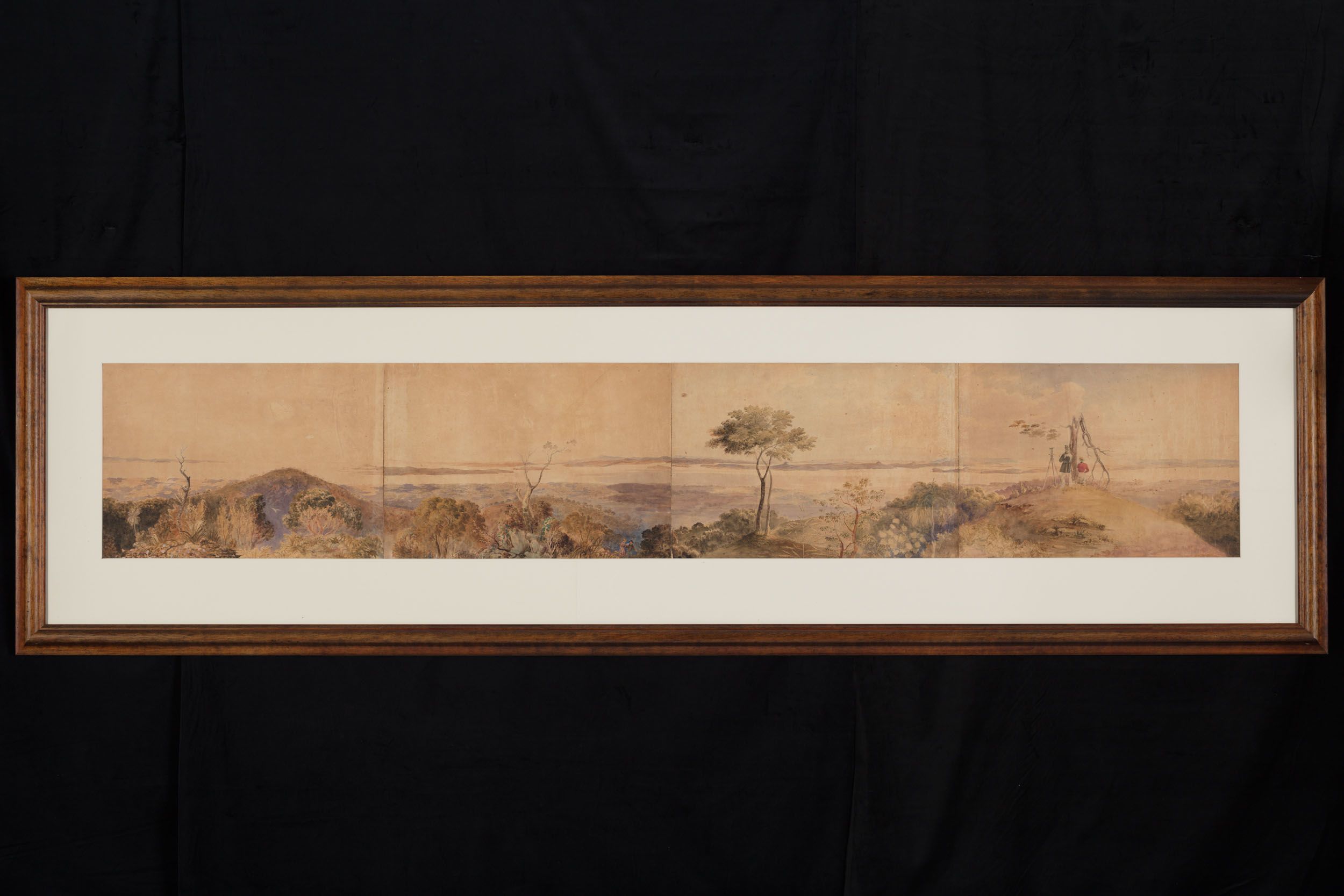
[Panoramic view of Waitematā Harbour looking westward from the summit of Rangitoto], 1743, 996389, No known copyright restrictions
[Panoramic view of Waitematā Harbour looking westward from the summit of Rangitoto], 1743, 996389, No known copyright restrictions
[Panoramic view of Waitematā Harbour looking westward from the summit of Rangitoto]
Collections Online: https://www.aucklandmuseum.com/discover/collections/record/996389

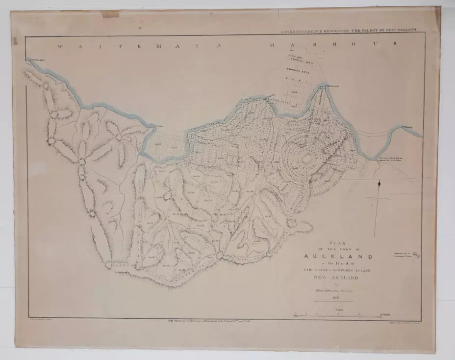
Plan of the town of Auckland in the island of New Ulster or Northern Island New Zealand, G9084.A8G45 MAT, All Rights Reserved
Plan of the town of Auckland in the island of New Ulster or Northern Island New Zealand, G9084.A8G45 MAT, All Rights Reserved
Plan of the town of Auckland in the island of New Ulster or Northern Island, New Zealand. Auckland War Memorial Museum.
Collections Online: https://www.aucklandmuseum.com/discover/collections/record/1134182
Further Links
Byrnes, G. (2001). Boundary markers: Land surveying and the colonisation of New Zealand. Bridget Williams Books. https://nzhistorycollection.bwb.co.nz/collection-books/9781927131107
Byrnes, G. (2013). Boundary markers: Land surveying in nineteenth-century New Zealand. International Federation of Surveyors. https://www.bwb.co.nz/books/boundary-markers/
Duder, T. (2015). Sarah Mathew: Explorer, journalist and Auckland’s "First Lady". Auckland War Memorial Museum. https://www.aucklandmuseum.com/discover/collections/record/1139446
Marlow, C., Leeds, L., & Du Moulin, J. P. (1846). Sketch of Kawiti's Pā, Ruapekapeka [Map]. Auckland Libraries. https://kura.aucklandlibraries.govt.nz/digital/collection/maps/id/1625
Mathew, F. (Surveyor General), & Bluett, T. (Lithographer). (1841). Plan of the town of Auckland, New Ulster, the capital of the colony of New Zealand [Map]. Auckland Libraries. https://kura.aucklandlibraries.govt.nz/digital/collection/maps/id/1634/
New Zealand History. (n.d.). Exploring New Zealand’s interior. Manatū Taonga Ministry for Culture and Heritage. https://nzhistory.govt.nz/culture/explorers/interior-exploration
New Zealand Society. (2015, October 9). Cobwebs and colonials: Sarah Mathew and the founding of Auckland. Radio New Zealand. https://www.rnz.co.nz/national/programmes/nz-society/audio/201774001/cobwebs-and-colonials-sarah-mathew-and-the-founding-of-auckland